
Go Smarter, Go Active launch new interactive walking and cycling map of North East to encourage active travel within the region
Go Smarter, Go Active; a campaign championing active travel in the North East, has launched a brand-new interactive walking and cycling map of the region to help make journeys on foot or by bike.
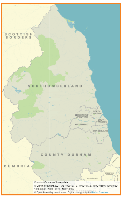
The interactive map covers the whole North East, bringing together the entire network of walking and cycling routes in once place, making active travel easier for everyone.
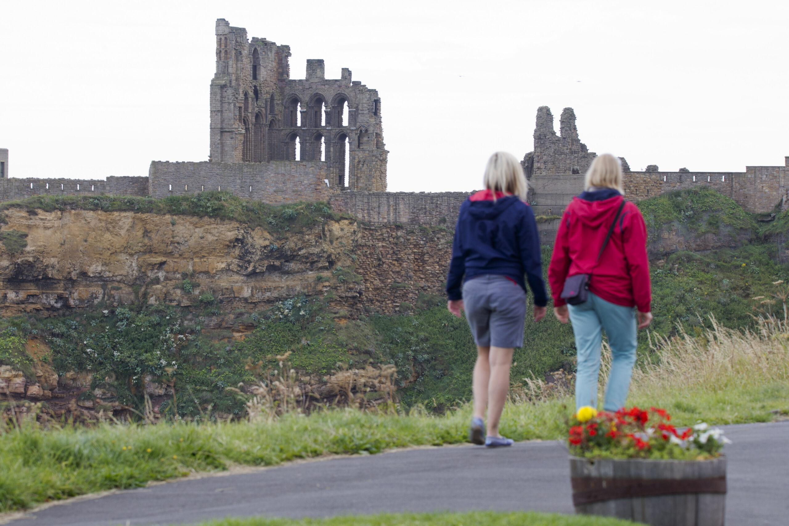
Exploring the beauty of the North East is at your fingertips with this new tool that’s perfect for planning everyday adventures on foot or by bike, whether that be for work or leisure. All you need to do is type your location or postcode into the search bar and you’ll be able to plot your location and plan your route from there, all while feeling good for making a healthy and green travel choice!
Cllr Martin Gannon, Chair of the North East Joint Transport Committee said: “It’s fantastic that the new Go Smarter, Go Active cycling and walking map is now available to help people to get from A-B more sustainably. The interactive map is a great tool to allow people to plan their every-day journeys and to build more active travel into their lives.
“It’s suitable for those travelling for leisure and for those considering swapping their drive to work for an active commute. I’d encourage everyone to give it a go as we try to reduce carbon emissions in the area, and improve the health and wellbeing of people living and working in the North East.”
The map allows you to see our breath-taking region in incredible detail by zooming through different layers of mapping to view on-road cycle routes as well as traffic free routes, spanning Northumberland, Tyne and Wear and Durham. That means there’s something for you, whether you’re new to cycling and walking or are regularly active.
Many of the map symbols are interactive allowing you to click on them for more detail. This includes links to Metro and rail stations as well as heritage sites, ideal for hybrid journeys involving public transport and for those planning days out further afield.
The map can be used on smartphones and can also easily be printed at home should you want to take a section with you on your adventures to help you way-find.
Individual PDF maps remain available on the Go Smarter, Go Active website. Click here to see them. Or if you’re looking for a budget-friendly day out, why not take a look at the Days Out Guides?
The interactive map has been delivered as part of the wider Go Smarter, Go Active campaign, delivered on behalf of the North East Joint Transport Committee by Transport North East, working in partnership with the seven North East Local Authorities. Funding for the campaign has been provided by the government’s Active Travel Fund.
View the #GoSmarterGoActive interactive map on the Go Smarter, Go Active website now and get exploring!
#GoSmarterGoActive #LetsGetCycling #LetsGetWalking